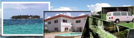
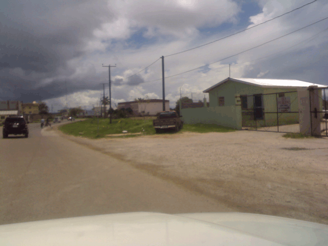
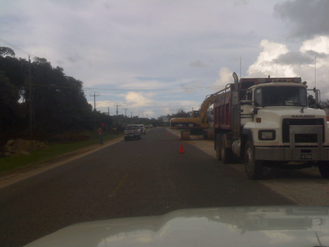
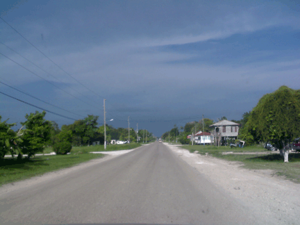
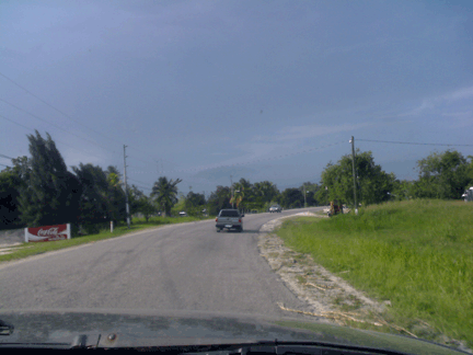
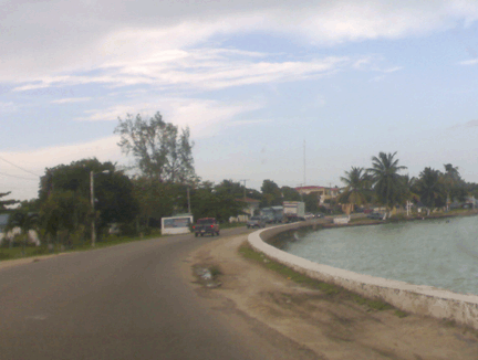
The roads in Belize are predominnatly good.
The Major Highways are paved and Government has made sure that
few of the gravel roads are frequently scraped so as to make
it easy for visitors to visit the various attractions of Belize.
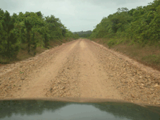
We find that in many cases, the roads leading to the Maya Ruins,
Caves, and other attractions are unpaved and require that you
drive slowly on them driving during the rainy season.
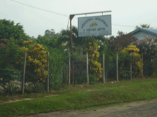
You will also notice, that there are
many signs along the road that will help you in getting around
the country.
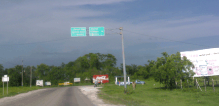
Roads Signs in Corozal
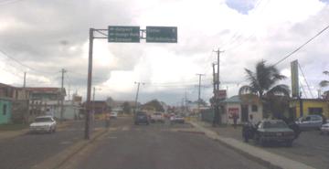
Roads Signs in Belize City
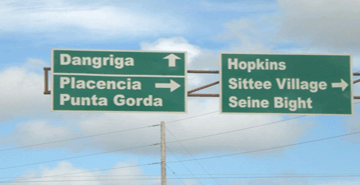
Road Signs in Placencia
Today the Southern Highway and the Hummingbird
Highway are two of the best highways available in the country.
The Western Highway and the Northern Highway are in very good
condition as well. On the other hand, the Coastal Road remains
to be in very bad shape especially during the rainy seasons.
It is for this reason that we recommend that visitors remain
on the southern highway when travelling to Placencia and the
other southern areas of the country. Due to the condition of
the gravel road on the Coastal Road, one may find that despite
its short distance, it takes an even longer time to travel it
than it does if one would have simply remained on the Southern
Highway.
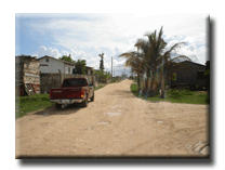
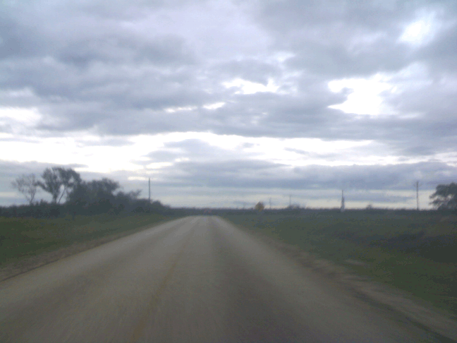
Unpaved
Roads in Belize
The Main Roads and Highways in Belize
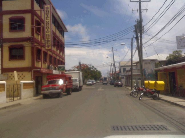
BELIZE CITY |
The Roads in Belize are generally in a Fair to Moderate
Condition.
One may find it very difficult to drive around the city at first instance; however,
after a few hours you will get used to it.
Recently, the Government has increased the amount of signs around town in order
to assist visitors in getting around the city and finding the various important
sites to visit including the famous Swing Bridge (which is still turned manually)
and the St. John's Cathedral which dates back to the colonial days.
There are many one way streets and very few stop lights availble in a city of
approximately 60,000 and as a result, you need to be careful when driving in
the City.
In addition to this, when driving in the City it is very important to look out
for pedestrians, bicycles, taxis, and the buses. They have been known not to
follow the rules of the roads and at times make very sudden turns. |
 |
Road Condition: Moderate
Paved Section: 95%
Gas Availability: Excellent
Vegetation: Mangrove
and Low land vegetation |
|
WESTERN
HIGHWAY |
The Western Highway is approximately
78 miles long. This road leads to the majority of toursit attractions
in the country of Belize.
Great Destinations found along
this road are:
a) Hattieville Village
b) The Belize Zoo
c) Belmopan (The Capital City)
d) San Ignacio and Santa Elena - AKA. the “twin towns”
e) Cave Tubing and Zip Lining Adventures
f) Cave Expeditions
g) The Famous Inland Blue Hole
h) Xunantunich Maya Ruin
i) Cahal Pech Maya Ruin
j) Pine Ridge Area - 1000 Foot Falls, and Rio Frio Caves
And Lots more.
This roads stretches from Belize City to through the Cayo District
and ends at the Guatemalan border.
There are many speed bumps located on this Highway most of
which are found in the nearby villages and towns. This highway
is known for a great number of accidents due to the use of
limestone in certain areas of the road. Word of advice - Drive
Carefully and you will reach your destination. |
 |
Road Condition: Very
Good
Paved Section: 100%
Gas Availability: Good
Vegetation: Mangrove and Low land vegetation near Belize City
and Thicker Vegetation as you venture towards the Cayo District. |
|
NORTHERN
HIGHWAY |
The Northern Highway is about
85 miles long. Again it strecthes from Belize City to the
Border of Mexico (Quintanaroo, Chetumal). The road is well
paved and runs smoothly all the way up to the Corozal District.
There are a few speed bumps located along the road in the
various villages. These are mainly found in the Maskall and
Ladyville Area etc.
You will also find a great deal of Sugar Cane Trucks on the road. These are usually
found in the Orange Walk Distrct (about 1 hr away from Belize City). Take precaution
of these trucks as they are very old and known to take turns without using their
signals. You will find several new road areas that were built in the Orange walk
District to assist in reducing the presence of these trucks on the road. Presently
there is a new road located just at the Entrance of the Orange Walk Town that
allows you to by pass the entire town. If you enjoy viewing the towns and the
way of life of the people I would not suggest that you take the new road as there
is nothing to see along it.
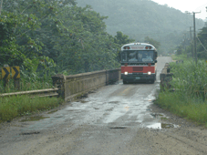
There is a toll bridge that
is present just before you enter Orange Walk Town. Right
next to this bridge are tour boats that take you to the Ruins
of Lamanai -- Beautiful Site. The cost of the toll bridge
that takes you over the New River is 0.75 cents belize. |
  |
Road Condition: Very Good
Paved Section: 100%
Gas Availability: Average |
|
HUMMINGBIRD
HIGHWAY |
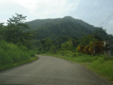
The Hummingbird Highway is about
56-miles long. It stretches from the Western Highway (at Belmopan)
to the Stann Creek District (Dangriga Town). When travelling
through the Hummingbird Highway you will notice that it has
some of the most beautiful sceneries in the Country. It is
also home to the famous Sleeping Giant (Mountain).
There are several little single
lane bridges that you will come across when travelling on this
Highway. Simply slow down before you reach the bridge and allow
the person who came first to pass through.
Note: There are not too many gas
stations availble on this road. I do suggest that you fill
up your tank in Belmopan before travelling the road.
|
   |
Road Condition: Excellent
Paved Section: 100%
Gas Availability: Poor |
|
Coastal
Road - Manattee Highway |
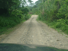
The Coastal Highway is approximately
36 miles long. The road is completely gravel road. It stretches
from La Democracia Village (located at the Mile 32 cut off
on the Western Highway) to the Stann Creek Valley Road. This
Highway is also referred to as the Manatee Highway or the “Shortcut
to Placencia.”
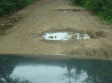
Due to the condition of this road, It really does take a long time to travell
it. Dring the rainy season it is in worst condition. I highly recommend sticking
to the Southern Highway when travelling south.
The road is very dusty and is best described as the longest washboard roads in
the country of Belize. It will shake your dentures out. The condition of this
unpaved road has been known to cause a great deal of accidents. There have been
many instances of vehicles running off the road as a result of the driver loosing
control of his or her vehicle.
It is much safer, comfortable, and secure to travel the Southern Highway as suggested
above. This will also help to ensure that no accidents occur and that the vehicle
of the rental companies are returned in good condition.
|
   |
Road Condition: Fair
Paved Section: 0%
Gas Availability: Very
Poor |
|
SOUTHERN HIGHWAY
The Southern Highway has beautiful paved roads. It is paved all the
way up to 10 miles before you arrive at Punta Gorda Town. It is a
very beautiful scenery. The grass is truly greener and the mountains
are spectacular.
Road Condition: Good
Paved Section: 90%
Gas Availability: Fair - It
is recommended that you put in gas in Dangriga or in Punta Gorda
before you travel the road.
OLD NORTHERN HIGHWAY
This highway carries with it a great
deal of history. The highway was once completely paved by the British
during thier control of the country. Today the Government of Belize
has placed some efforts in maintaining the worn out parts of the
old highway. This highway is is utilized by all those adventures
seeking the famous Altun Ha Ruins. Today there are many areas of
this road that remain as gravel road with lots of potholes.
Road Condition: Fair
Paved Section: 65%
Gas Availability: None |